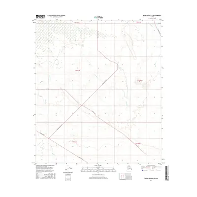
2016 Map of Mount Hayes D-3 NE
USGS Topo · Published 2016About this map
The Gerstle River dominates the eastern margin of this interior landscape, where braided waterways and marshlands define the transition between the high Alaska Range and the Tanana Valley. The road network reflects a structured approach to land use, with the Alaska Highway cutting across the southwestern corner while a grid of local routes like Barley Way and Sawmill Road Ag 1403 service the interior sections. These names, along with Mill Road, suggest a history of agricultural and timber activity in this part of the Unorganized Borough. Water sources such as Clearwater Cr and Sawmill Cr meander through the terrain, illustrating the hydrological complexity of this subarctic environment in the early 21st century.
Find a feature on this map
15 named features on this map. Tap any name to fly to it.
Don’t see what you’re looking for? This feature index may not catch every label — zoom into the map to look around manually.
Map Details
Editions of this 2016 Mount Hayes D-3 NE Map
This is the sole edition of this map. No revisions or reprints were ever made.
Other maps of this area

1950 · Mount Hayes
USGS Topo · 1:250,000

1950 · Big Delta
USGS Topo · 1:250,000

1951 · Big Delta
USGS Topo · 1:250,000

1951 · Mount Hayes
USGS Topo · 1:250,000

1954 · Mount Hayes D-2
USGS Topo · 1:63,360

1954 · Mount Hayes D-3
USGS Topo · 1:63,360

1954 · Big Delta A-2
USGS Topo · 1:63,360

1955 · Big Delta A-3
USGS Topo · 1:63,360

1955 · Big Delta A-2
USGS Topo · 1:63,360

1955 · Mount Hayes D-2
USGS Topo · 1:63,360