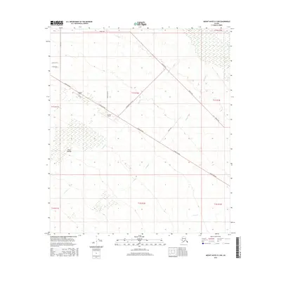
2016 Map of Mount Hayes D-3 NW
USGS Topo · Published 2016About this map
Fort Greely dominates the western portion of this Alaskan landscape, marking a significant military presence in the Unorganized Borough. The area is defined by a rigorous grid of agricultural and transport arteries, with the Alaska Highway cutting southeast through the center of the sheet. This infrastructure supports local aviation and farming operations, evidenced by the presence of Cherokee Airport and All West Airport.
Find a feature on this map
22 named features on this map. Tap any name to fly to it.
Don’t see what you’re looking for? This feature index may not catch every label — zoom into the map to look around manually.
Map Details
Editions of this 2016 Mount Hayes D-3 NW Map
This is the sole edition of this map. No revisions or reprints were ever made.
Other maps of this area

1950 · Mount Hayes
USGS Topo · 1:250,000

1950 · Big Delta
USGS Topo · 1:250,000

1950 · Mount Hayes D-4
USGS Topo · 1:63,360

1950 · Big Delta A-4
USGS Topo · 1:63,360

1951 · Big Delta
USGS Topo · 1:250,000

1951 · Mount Hayes
USGS Topo · 1:250,000

1952 · Mount Hayes D-4
USGS Topo · 1:63,360

1952 · Big Delta A-4
USGS Topo · 1:63,360

1954 · Mount Hayes D-3
USGS Topo · 1:63,360

1955 · Big Delta A-3
USGS Topo · 1:63,360