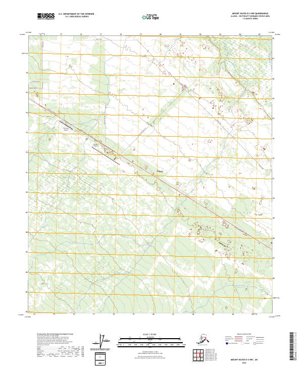
2024 Map of Mount Hayes D-3 NW
USGS Topo · Published 2024About this map
Deltana serves as the focal point of this interior Alaskan landscape, where the Alaska Highway cuts a sharp diagonal path through the boreal terrain. The map details a specialized aviation and agricultural corridor, anchored by the Cherokee Airport and All West Airport. These private airstrips, positioned alongside the primary highway, indicate the region's reliance on air transport for local connectivity and remote access.
Find a feature on this map
21 named features on this map. Tap any name to fly to it.
Don’t see what you’re looking for? This feature index may not catch every label — zoom into the map to look around manually.
Map Details
Editions of this 2024 Mount Hayes D-3 NW Map
This is the sole edition of this map. No revisions or reprints were ever made.
Other maps of this area

1950 · Mount Hayes
USGS Topo · 1:250,000

1950 · Big Delta
USGS Topo · 1:250,000

1950 · Mount Hayes D-4
USGS Topo · 1:63,360

1950 · Big Delta A-4
USGS Topo · 1:63,360

1951 · Big Delta
USGS Topo · 1:250,000

1951 · Mount Hayes
USGS Topo · 1:250,000

1952 · Mount Hayes D-4
USGS Topo · 1:63,360

1952 · Big Delta A-4
USGS Topo · 1:63,360

1954 · Mount Hayes D-3
USGS Topo · 1:63,360

1955 · Big Delta A-3
USGS Topo · 1:63,360