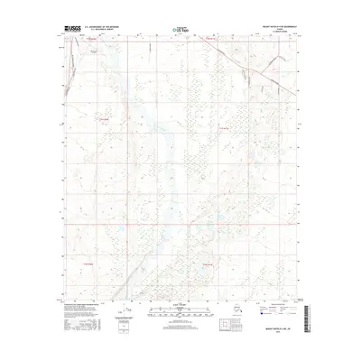
2016 Map of Mount Hayes D-4 NE
USGS Topo · Published 2016About this map
Allen Army Airfield sits at the junction of critical Alaskan infrastructure in this 2016 study. The landscape is defined by the convergence of the Alaska Pipeline, the Richardson Highway, and the Alaska Highway, illustrating the region's role as a transportation and energy corridor. The braided channels of Jarvis Creek dominate the central valley, cutting through the terrain towards the north, while smaller waterways like Granite Cr appear to the southeast. Local transportation is further marked by a network of named routes including Clearwater Road, Dorshorst Road, and Siedschlag Road, which provide access to the outlying areas surrounding the military airfield and major highways.
Find a feature on this map
20 named features on this map. Tap any name to fly to it.
Don’t see what you’re looking for? This feature index may not catch every label — zoom into the map to look around manually.
Map Details
Editions of this 2016 Mount Hayes D-4 NE Map
This is the sole edition of this map. No revisions or reprints were ever made.
Other maps of this area

1950 · Mount Hayes
USGS Topo · 1:250,000

1950 · Big Delta
USGS Topo · 1:250,000

1950 · Mount Hayes D-4
USGS Topo · 1:63,360

1950 · Big Delta A-4
USGS Topo · 1:63,360

1951 · Big Delta
USGS Topo · 1:250,000

1951 · Mount Hayes
USGS Topo · 1:250,000

1952 · Mount Hayes D-4
USGS Topo · 1:63,360

1952 · Big Delta A-4
USGS Topo · 1:63,360

1954 · Mount Hayes D-3
USGS Topo · 1:63,360

1955 · Big Delta A-3
USGS Topo · 1:63,360