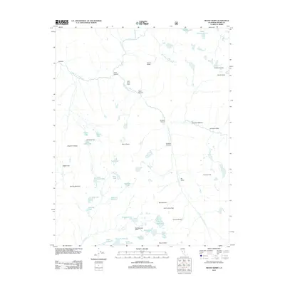
2012 Map of Mount Henry
USGS Topo · Published 2012About this map
Mount Henry stands as a central peak in this high-altitude landscape within the Sierra Nevada, where the S Fork San Joaquin River carves through deep canyons and meadows. The map documents a complex glacial topography defined by the Glacier Divide and the presence of the Matthes Glaciers near the eastern boundary. This 2012 survey illustrates the hydrological network feeding the river, including the Devils Punchbowl and a high density of alpine basins like the Red Mountain Basin. Significant transit corridors through this wilderness are marked by Hell for Sure Pass and Mosquito Pass, which navigate the steep elevations between Piute Canyon and the Le Conte Divide. Named landmarks such as John Muir Rock near Aspen Meadow and the expansive Evolution Valley reflect the era’s established nomenclature for this protected backcountry region.
Find a feature on this map
49 named features on this map. Tap any name to fly to it.
Don’t see what you’re looking for? This feature index may not catch every label — zoom into the map to look around manually.
Map Details
Editions of this 2012 Mount Henry Map
This is the sole edition of this map. No revisions or reprints were ever made.
Other maps of this area

1912 · Mt. Goddard
USGS Topo · 1:125,000

1947 · Mariposa
USGS Topo · 1:250,000

1948 · Mariposa
USGS Topo · 1:250,000

1948 · Mt. Goddard
USGS Topo · 1:62,500

1949 · Mt. Tom
USGS Topo · 1:62,500

1951 · Mt. Tom
USGS Topo · 1:62,500

1951 · Mt. Goddard
USGS Topo · 1:62,500

1952 · Mt. Goddard
USGS Topo · 1:62,500

1953 · Mt Abbot
USGS Topo · 1:62,500

1953 · Blackcap Mtn
USGS Topo · 1:62,500