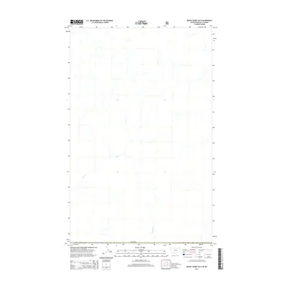
2014 Map of Mount Henry OE N
USGS Topo · Published 2014About this map
The international border with Canada defines the southern reach of this landscape, where the drainage systems of the Rocky Mountains begin their southward descent. The terrain is characterized by the headwaters of several drainages, most notably Ward Cr which winds through the western portion of the quadrangle. In the southeast, Blacktail Cr carves a path through the high country. This 2014 survey by the U.S. Geological Survey provides a precise view of the hydrology and topography along the border, capturing a wilderness area defined by its natural watercourses rather than human settlements.
Find a feature on this map
3 named features on this map. Tap any name to fly to it.
Don’t see what you’re looking for? This feature index may not catch every label — zoom into the map to look around manually.
Map Details
Editions of this 2014 Mount Henry OE N Map
This is the sole edition of this map. No revisions or reprints were ever made.
Other maps of this area

1957 · Kalispell
USGS Topo · 1:250,000

1960 · Kalispell
USGS Topo · 1:250,000

1961 · Kalispell
USGS Topo · 1:250,000

1963 · Robinson Mountain
USGS Topo · 1:24,000

1963 · Bonnet Top
USGS Topo · 1:24,000

1963 · Mount Henry
USGS Topo · 1:24,000

1979 · Yaak River
USGS Topo · 1:100,000
1997 · Robinson Mountain
USGS Topo · 1:24,000
1997 · Mount Henry
USGS Topo · 1:24,000
1997 · Bonnet Top
USGS Topo · 1:24,000