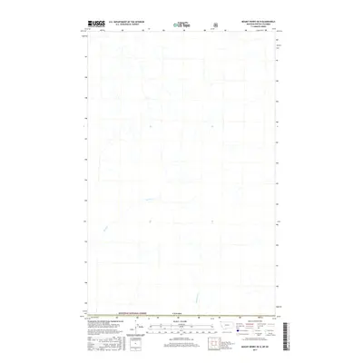
2017 Map of Mount Henry OE N
USGS Topo · Published 2017About this map
Kootenai National Forest lands dominate this northern frontier landscape, where the geography is defined by the high-elevation drainage patterns of the northern Rockies. The area is characterized by the headwaters and winding paths of Ward Cr and Blacktail Cr, which carve through the terrain south of the international border. This 2017 survey documents a wilderness interface where public lands meet the line of Canada, offering a precise view of the hydrology and topographic relief in a region where few permanent settlements or roads exist. The map serves as a detailed record of natural watercourses and forest boundaries in a remote sector of the Kootenai, providing essential data for those studying the environmental layout of the borderlands.
Find a feature on this map
4 named features on this map. Tap any name to fly to it.
Don’t see what you’re looking for? This feature index may not catch every label — zoom into the map to look around manually.
Map Details
Editions of this 2017 Mount Henry OE N Map
This is the sole edition of this map. No revisions or reprints were ever made.
Other maps of this area

1957 · Kalispell
USGS Topo · 1:250,000

1960 · Kalispell
USGS Topo · 1:250,000

1961 · Kalispell
USGS Topo · 1:250,000

1963 · Robinson Mountain
USGS Topo · 1:24,000

1963 · Bonnet Top
USGS Topo · 1:24,000

1963 · Mount Henry
USGS Topo · 1:24,000

1979 · Yaak River
USGS Topo · 1:100,000
1997 · Robinson Mountain
USGS Topo · 1:24,000
1997 · Mount Henry
USGS Topo · 1:24,000
1997 · Bonnet Top
USGS Topo · 1:24,000