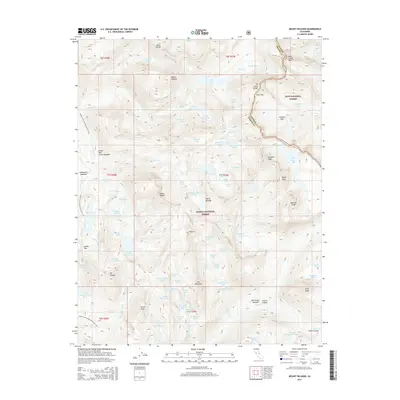
2015 Map of Mount Hilgard
USGS Topo · Published 2015About this map
The Sierra Nevada high country along the border of Inyo National Forest and Sierra National Forest is defined here by a series of prominent peaks and high-altitude basins. The continental divide follows the jagged line from Bear Creek Spire through Italy Pass and down toward Mt Julius Caesar, separating the drainage of Hilgard Br from the Chalfant Lakes to the east. This section of the range is a complex network of glacial cirques, containing a high density of named water bodies such as Lake Italy, Seven Gables Lakes, and the uniquely named Teddy Bear Lake. The Pacific Crest National Scenic Trail traverses the western portion of the map, passing through Rosemarie Meadow and over Selden Pass, providing a primary artery through this roadless wilderness. The intersection of geologic features like The Pinnacles and expansive meadows like Upper Bear Creek Meadows illustrates the high-elevation transition zones typical of the central Sierra.
Find a feature on this map
94 named features on this map. Tap any name to fly to it.
Don’t see what you’re looking for? This feature index may not catch every label — zoom into the map to look around manually.
Map Details
Editions of this 2015 Mount Hilgard Map
This is the sole edition of this map. No revisions or reprints were ever made.
Other maps of this area

1912 · Mt. Goddard
USGS Topo · 1:125,000

1947 · Mariposa
USGS Topo · 1:250,000

1948 · Mariposa
USGS Topo · 1:250,000

1948 · Mt. Goddard
USGS Topo · 1:62,500

1949 · Mt. Tom
USGS Topo · 1:62,500

1951 · Mt. Tom
USGS Topo · 1:62,500

1951 · Mt. Goddard
USGS Topo · 1:62,500

1952 · Mt. Goddard
USGS Topo · 1:62,500

1953 · Mt Abbot
USGS Topo · 1:62,500

1953 · Blackcap Mtn
USGS Topo · 1:62,500