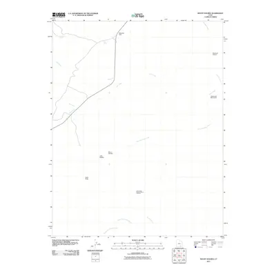
2011 Map of Mount Holmes
USGS Topo · Published 2011About this map
Mount Holmes stands as the central topographic focal point of this Garfield County landscape, surrounded by the dramatic erosional features of the Little Rockies. This region is defined by a network of seasonal drainage systems including Gold Creek, Milk Creek, and the multiple forks of Ticaboo Creek which carve through the high desert. The map captures an area of significant geologic and natural interest, highlighted by the Little Rockies National Natural Landmark and distinctive named formations like the Hoskinnini Monument. Remote springs such as Woodruff Spring and Hole Spring provide critical water points in this arid terrain. Transport is limited to State Route 276, which skirts the western edge of the highlands near Star Creek, illustrating the isolation and specialized land use of the eastern Utah desert in the early twenty-first century.
Find a feature on this map
19 named features on this map. Tap any name to fly to it.
Don’t see what you’re looking for? This feature index may not catch every label — zoom into the map to look around manually.
Map Details
Editions of this 2011 Mount Holmes Map
This is the sole edition of this map. No revisions or reprints were ever made.
Other maps of this area

1886 · Henry Mountains
USGS Topo · 1:250,000

1892 · Henry Mountains
USGS Topo · 1:250,000

1952 · Mt Pennell 1 SW
USGS Topo · 1:24,000

1952 · Mancos Mesa
USGS Topo · 1:62,500

1952 · Mt Pennell 1 NE
USGS Topo · 1:24,000

1952 · Mt Hillers
USGS Topo · 1:62,500

1952 · Mt Pennell 1 SE
USGS Topo · 1:24,000

1952 · Mt Pennell 1 NW
USGS Topo · 1:24,000

1952 · Hite
USGS Topo · 1:62,500

1953 · Mt Pennell 4 NE
USGS Topo · 1:24,000