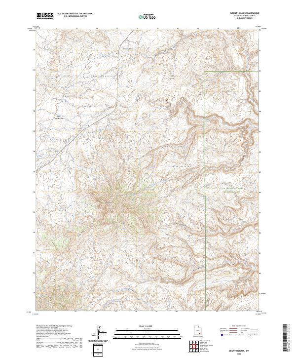
2023 Map of Mount Holmes
USGS Topo · Published 2023About this map
The Henry Mountains dominate the western landscape of this Garfield County survey, where the prominent peak of Mt Holmes rises above a complex network of drainages. The terrain is defined by dramatic elevation changes, moving from the elevated Star Creek Benches and Freds Ridge down into deep incisions like Twomile Canyon and Fourmile Canyon. This area represents a transition into the federally protected lands of the Glen Canyon National Recreation Area, which occupies the eastern and southern portions of the map.
Find a feature on this map
21 named features on this map. Tap any name to fly to it.
Don’t see what you’re looking for? This feature index may not catch every label — zoom into the map to look around manually.
Map Details
Editions of this 2023 Mount Holmes Map
This is the sole edition of this map. No revisions or reprints were ever made.
Other maps of this area

1886 · Henry Mountains
USGS Topo · 1:250,000

1892 · Henry Mountains
USGS Topo · 1:250,000

1952 · Mt Pennell 1 SW
USGS Topo · 1:24,000

1952 · Mancos Mesa
USGS Topo · 1:62,500

1952 · Mt Pennell 1 NE
USGS Topo · 1:24,000

1952 · Mt Hillers
USGS Topo · 1:62,500

1952 · Mt Pennell 1 SE
USGS Topo · 1:24,000

1952 · Mt Pennell 1 NW
USGS Topo · 1:24,000

1952 · Hite
USGS Topo · 1:62,500

1953 · Mt Pennell 4 NE
USGS Topo · 1:24,000