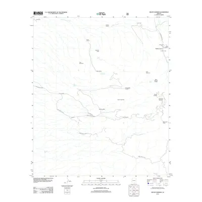
2012 Map of Mount Hopkins
USGS Topo · Published 2012About this map
Mount Hopkins stands as a prominent peak in this high-elevation landscape, where the modern scientific pursuit of astronomy meets traditional Arizona ranching and recreation history. The landmark Smithsonian Astrophysical Observatory occupies the high ground, while the canyons below are anchored by long-standing local hubs like Proctor Ranch and the Santa Rita Lodge. This 2012 survey illustrates a landscape of stark verticality, defined by the deep cut of Madera Canyon and the rugged profile of Elephant Head.
Find a feature on this map
32 named features on this map. Tap any name to fly to it.
Don’t see what you’re looking for? This feature index may not catch every label — zoom into the map to look around manually.
Map Details
Editions of this 2012 Mount Hopkins Map
This is the sole edition of this map. No revisions or reprints were ever made.
Other maps of this area

1904 · Patagonia
USGS Topo · 1:125,000

1905 · Patagonia
USGS Topo · 1:125,000

1920 · Arivaca
USGS Topo · 1:125,000

1922 · Agus Caliente
USGS Topo · 1:62,500

1925 · Samaniego Peak
USGS Topo · 1:62,500

1926 · Helvetia
USGS Topo · 1:62,500

1939 · Twin Buttes
USGS Topo · 1:62,500

1939 · Tubac
USGS Topo · 1:62,500

1941 · Twin Buttes
USGS Topo · 1:62,500

1943 · Tubac
USGS Topo · 1:62,500