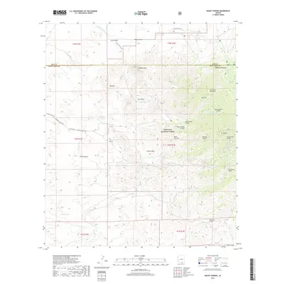
2018 Map of Mount Hopkins
USGS Topo · Published 2018About this map
Coronado National Forest dominates this landscape in southern Arizona, where the high peaks of the Santa Rita Mountains rise sharply above the desert floor. The map captures the dramatic elevation changes of the region, anchored by the prominent Mt Hopkins and the distinct granite formation of Elephant Head. This territory is defined by deep drainages like Madera Canyon Wash and Agua Caliente Canyon, which serve as critical water sources in the arid environment. Small, localized water features such as Aqua Caliente Spring and Iron Spring indicate the essential hydrology that historically supported ranching and travel in this area. Named ridges and basins, including the Montosa Basin and Tia Juana Ridge, reflect a rugged topography where narrow canyons like Devils Cash Box cut through the limestone and granite of the Pima and Santa Cruz county lines.
Find a feature on this map
38 named features on this map. Tap any name to fly to it.
Don’t see what you’re looking for? This feature index may not catch every label — zoom into the map to look around manually.
Map Details
Editions of this 2018 Mount Hopkins Map
This is the sole edition of this map. No revisions or reprints were ever made.
Other maps of this area

1904 · Patagonia
USGS Topo · 1:125,000

1905 · Patagonia
USGS Topo · 1:125,000

1920 · Arivaca
USGS Topo · 1:125,000

1922 · Agus Caliente
USGS Topo · 1:62,500

1925 · Samaniego Peak
USGS Topo · 1:62,500

1926 · Helvetia
USGS Topo · 1:62,500

1939 · Twin Buttes
USGS Topo · 1:62,500

1939 · Tubac
USGS Topo · 1:62,500

1941 · Twin Buttes
USGS Topo · 1:62,500

1943 · Tubac
USGS Topo · 1:62,500