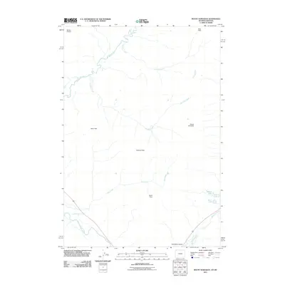
2011 Map of Mount Hornaday
USGS Topo · Published 2011About this map
Mount Hornaday stands as a prominent centerpiece in this high-elevation landscape of Park County, where the alpine terrain is defined by dramatic peaks and complex drainage systems. The northern reaches are characterized by the Buffalo Plateau, a vast upland area that gives way to the deep incisions of Slough Creek and Elk Tongue Creek. In the southern portion of the map, the topography drops toward Soda Butte Canyon, where the Lamar River and Soda Butte Creek converge.
Find a feature on this map
16 named features on this map. Tap any name to fly to it.
Don’t see what you’re looking for? This feature index may not catch every label — zoom into the map to look around manually.
Map Details
Editions of this 2011 Mount Hornaday Map
This is the sole edition of this map. No revisions or reprints were ever made.
Other maps of this area

1886 · Canyon
USGS Topo · 1:125,000

1891 · Livingston
USGS Topo · 1:250,000

1893 · Livingston
USGS Topo · 1:250,000

1895 · Canyon
USGS Topo · 1:125,000

1896 · Canyon
USGS Topo · 1:125,000

1901 · Canyon
USGS Topo · 1:125,000

1907 · Canyon
USGS Topo · 1:125,000

1911 · Canyon
USGS Topo · 1:125,000

1940 · Mt Wallace
USGS Topo · 1:62,500

1942 · Cutoff Mtn
USGS Topo · 1:62,500