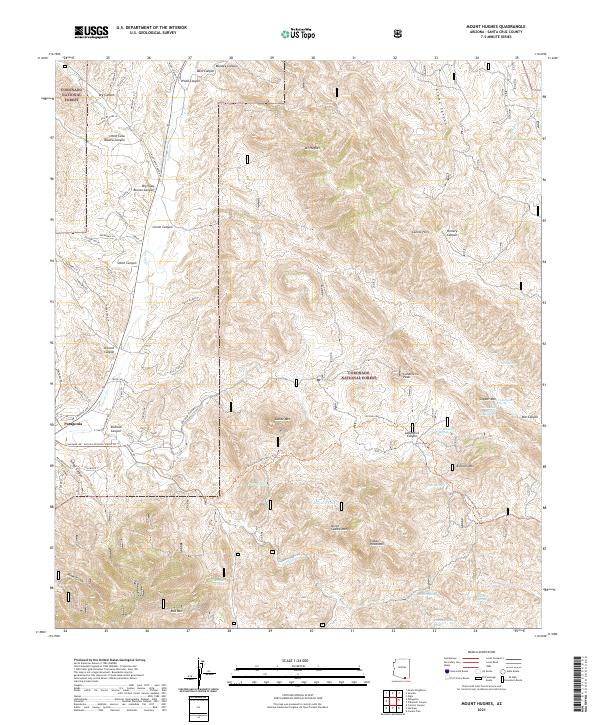
2021 Map of Mount Hughes
USGS Topo · Published 2021About this map
Patagonia serves as the primary settlement hub on this recent survey, situated at the confluence of several canyon drainages and historic trails. The landscape is defined by the high-elevation peaks of the Coronado National Forest, including the prominent Mt Hughes, Indian Head Mtn, and the volcanic profile of Red Mtn. Modern recreation and conservation are evident through the path of the Arizona National Scenic Trl, which winds through a complex topography of canyons such as Stevens Canyon and Lampshire Canyon. The drainage network, led by Sonoita Cr and Harshaw Cr, is dotted with critical water points like Bat Cave Tank and Gunther Tank, reflecting the arid environmental constraints of the region. This survey captures the intersection of traditional ranching road networks, like Rail X Ranch Dr, with established forest boundaries and protected wilderness areas.
Find a feature on this map
78 named features on this map. Tap any name to fly to it.
Don’t see what you’re looking for? This feature index may not catch every label — zoom into the map to look around manually.
Map Details
Editions of this 2021 Mount Hughes Map
This is the sole edition of this map. No revisions or reprints were ever made.
Other maps of this area

1904 · Patagonia
USGS Topo · 1:125,000

1905 · Patagonia
USGS Topo · 1:125,000

1905 · Nogales
USGS Topo · 1:125,000

1922 · Agus Caliente
USGS Topo · 1:62,500

1932 · Lochiel
USGS Topo · 1:62,500

1932 · Elgin
USGS Topo · 1:62,500

1933 · Calabasas
USGS Topo · 1:62,500

1940 · Elgin
USGS Topo · 1:62,500

1947 · Elgin
USGS Topo · 1:62,500

1948 · Canelo Pass
USGS Topo · 1:24,000