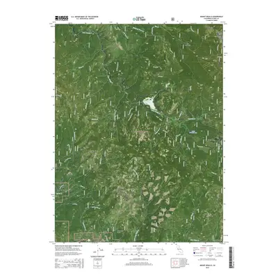
2015 Map of Mount Ingalls
USGS Topo · Published 2015About this map
Greenhorn sits at the southwestern edge of this high-elevation landscape, where the headwaters of Greenhorn Cr and Estray Cr begin their descent. The map reveals a complex drainage network within the Plumas National Forest, dominated by the towering heights of Mount Ingalls and Turner Ridge in the northeast. This 2015 survey provides a modern look at historical land use, particularly through industrial features like the Walker Mine Tailings Reservoir and scattered evidence of resource extraction at various Prospect sites.
Find a feature on this map
58 named features on this map. Tap any name to fly to it.
Don’t see what you’re looking for? This feature index may not catch every label — zoom into the map to look around manually.
Map Details
Editions of this 2015 Mount Ingalls Map
This is the sole edition of this map. No revisions or reprints were ever made.
Other maps of this area

1886 · Honey Lake
USGS Topo · 1:250,000

1891 · Downieville
USGS Topo · 1:125,000

1891 · Honey Lake
USGS Topo · 1:250,000

1893 · Honey Lake
USGS Topo · 1:250,000

1893 · Downieville
USGS Topo · 1:125,000

1895 · Downieville
USGS Topo · 1:125,000

1896 · Downieville
USGS Topo · 1:125,000

1897 · Downieville
USGS Topo · 1:125,000

1937 · Blairsden
USGS Topo · 1:48,000

1943 · Blairsden
USGS Topo · 1:62,500