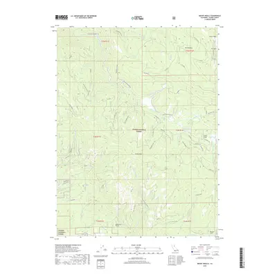
2018 Map of Mount Ingalls
USGS Topo · Published 2018About this map
Mt Ingalls Lo stands atop the highest peak in this section of the northern Sierra Nevada, overseeing the drainage basins of the Plumas National Forest. The 2018 survey reveals a landscape defined by its high-altitude water systems, including Little Summit Lake and the nearby Summit Marsh, which feed into the wider network of Big Grizzly Cr. The terrain is characterized by steep descents from Turner Ridge and Grizzly Ridge into deep drainages like McDermott Ravine and Missouri Gulch. The arterial Beckworth Genesee Rd winds through the canyons, providing access to remote locations like Nye Meadows. This period shows the intricate US Forest Service road network, including the Grizzly Loop, etched into the mountain slopes before they descend into Grizzly Valley.
Find a feature on this map
45 named features on this map. Tap any name to fly to it.
Don’t see what you’re looking for? This feature index may not catch every label — zoom into the map to look around manually.
Map Details
Editions of this 2018 Mount Ingalls Map
This is the sole edition of this map. No revisions or reprints were ever made.
Other maps of this area

1886 · Honey Lake
USGS Topo · 1:250,000

1891 · Downieville
USGS Topo · 1:125,000

1891 · Honey Lake
USGS Topo · 1:250,000

1893 · Honey Lake
USGS Topo · 1:250,000

1893 · Downieville
USGS Topo · 1:125,000

1895 · Downieville
USGS Topo · 1:125,000

1896 · Downieville
USGS Topo · 1:125,000

1897 · Downieville
USGS Topo · 1:125,000

1937 · Blairsden
USGS Topo · 1:48,000

1943 · Blairsden
USGS Topo · 1:62,500