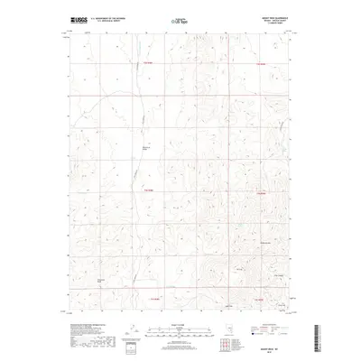
2018 Map of Mount Irish
USGS Topo · Published 2018About this map
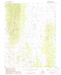
Mt Irish and the Timpahute Range anchor this high-desert landscape in Lincoln County, where seasonal water sources and steep relief define the terrain. The central Wild Horse Valley is accessed via the unpaved Cold Spring Rd, a route that connects several dispersed water features including Schaefer Spring and Horse Springs. The map illustrates a classic Great Basin environment where human movement is dictated by these rare springs and the natural corridors through the peaks. To the east, the terrain rises toward Sanderson Mtn and drops into the aptly named Silver Canyon, which leads toward Silver Hill. These names suggest the region's historical ties to mining and prospecting, while the presence of Logan Pass indicates the vital transit points used to navigate these mountains.
Find a feature on this map
23 named features on this map. Tap any name to fly to it.
Don’t see what you’re looking for? This feature index may not catch every label — zoom into the map to look around manually.
Map Details
Editions of this 2018 Mount Irish Map
This is the sole edition of this map. No revisions or reprints were ever made.
Other maps of this area

1942 · Penoyer Valley
USGS Topo · 1:125,000

1954 · Caliente
USGS Topo · 1:250,000

1959 · Caliente
USGS Topo · 1:250,000

1964 · Tempiute Mtn
USGS Topo · 1:62,500

1985 · Mail Summit
USGS Topo · 1:24,000
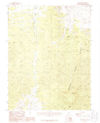
1985 · Mount Irish
USGS Topo · 1:24,000
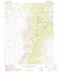
1985 · Crescent Spring
USGS Topo · 1:24,000
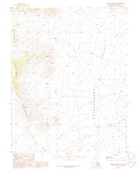
1985 · Mount Irish SE
USGS Topo · 1:24,000

1985 · Murphy Gap
USGS Topo · 1:24,000
1985 · Meeker Peak
USGS Topo · 1:24,000