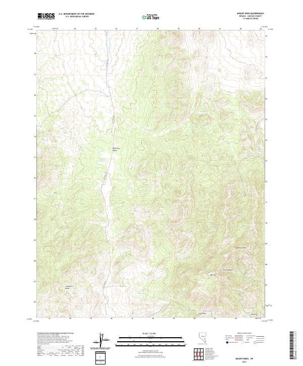
2021 Map of Mount Irish
USGS Topo · Published 2021About this map
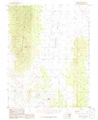
Mt Irish and the southern reaches of the Timpahute Range dominate this Lincoln County landscape, where water sources are the primary markers of human and animal movement. The map highlights a network of vital desert water points including Schaefer Spring, Shingle Spring, Camp Spring, and Horse Springs, which historically dictated travel routes and settlement possibilities in this arid environment. Wild Horse Valley occupies the central portion of the quadrangle, serving as a low-lying basin flanked by significant elevations like Sanderson Mtn. A few primary access routes, notably Cold Spring Rd and Silver Canyon Rd, traverse the high-desert terrain, connecting the valley to prominent geographic features such as Logan Pass and the drainage of Cold Springs Wash. The topographic detail reveals the intricate drainage patterns leading into Silver Canyon and around Silver Hill, providing a clear picture of the natural corridors used in this part of Nevada.
Find a feature on this map
23 named features on this map. Tap any name to fly to it.
Don’t see what you’re looking for? This feature index may not catch every label — zoom into the map to look around manually.
Map Details
Editions of this 2021 Mount Irish Map
This is the sole edition of this map. No revisions or reprints were ever made.
Other maps of this area

1942 · Penoyer Valley
USGS Topo · 1:125,000

1954 · Caliente
USGS Topo · 1:250,000

1959 · Caliente
USGS Topo · 1:250,000

1964 · Tempiute Mtn
USGS Topo · 1:62,500

1985 · Mail Summit
USGS Topo · 1:24,000
1985 · Mount Irish
USGS Topo · 1:24,000
1985 · Crescent Spring
USGS Topo · 1:24,000
1985 · Mount Irish SE
USGS Topo · 1:24,000

1985 · Murphy Gap
USGS Topo · 1:24,000
1985 · Meeker Peak
USGS Topo · 1:24,000