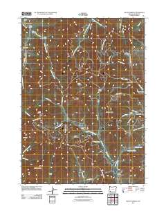
2011 Map of Mount Isabelle
USGS Topo · Published 2011About this map
Mount Isabelle and the surrounding peaks of Jackson County define this landscape of high ridges and winding creek drainages. The area is marked by a network of drainage basins, including Foots Creek, West Branch Galls Creek, and Forest Creek, which dictate the local road systems. Pockets of level ground such as Lilly Prairie and Bunny Meadows contrast with the steeper elevations of Timber Mountain and Baldy Mountain. Water management is evident through the Jacksonville Reservoir and Winningham Reservoir, highlighting the area's infrastructure for the nearby settlements. Cultural history is anchored by the Log Town Cemetery near the junction of Forest Creek and Poormans Creek, providing a focal point for genealogical research. The naming of various gulches, such as Marshall Gulch and Norling Gulch, reflects a history of local land use and geographic naming conventions across the Pacific Northwest timber and mountain country.
Find a feature on this map
55 named features on this map. Tap any name to fly to it.
Don’t see what you’re looking for? This feature index may not catch every label — zoom into the map to look around manually.
Map Details
Editions of this 2011 Mount Isabelle Map
This is the sole edition of this map. No revisions or reprints were ever made.
Other maps of this area

1891 · Ashland
USGS Topo · 1:250,000

1893 · Ashland
USGS Topo · 1:250,000

1897 · Ashland
USGS Topo · 1:250,000

1908 · Grants Pass
USGS Topo · 1:125,000

1938 · Medford
USGS Topo · 1:125,000

1954 · Medford
USGS Topo · 1:62,500

1954 · Gold Hill
USGS Topo · 1:62,500

1954 · Talent
USGS Topo · 1:62,500

1954 · Ruch
USGS Topo · 1:62,500

1955 · Medford
USGS Topo · 1:250,000