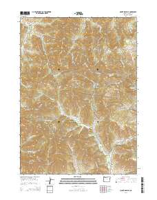
2014 Map of Mount Isabelle
USGS Topo · Published 2014About this map
Log Town Cem and the small settlement of Ruch occupy the southern reaches of this Jackson County landscape, where the valley floor meets the foothills of the Siskiyou Mountains. The terrain is characterized by a dense network of gulches and ridges, including Mount Isabelle and Wellington Butte, that feed into the complex drainage systems of Forest Cr and Jackson Cr. This 2014 survey documents a modern rural landscape deeply shaped by historic resource management and fire protection, evidenced by features like the Jackson Creek Fire road and the Jacksonville Reservoir. Distinctive local landmarks such as Bunny Meadows and Deadhorse Spring are noted alongside a web of forest service and secondary roads like Oregon Belle Loop Rd, reflecting the area's continued reliance on its timber and watershed resources.
Find a feature on this map
104 named features on this map. Tap any name to fly to it.
Don’t see what you’re looking for? This feature index may not catch every label — zoom into the map to look around manually.
Map Details
Editions of this 2014 Mount Isabelle Map
This is the sole edition of this map. No revisions or reprints were ever made.
Other maps of this area

1891 · Ashland
USGS Topo · 1:250,000

1893 · Ashland
USGS Topo · 1:250,000

1897 · Ashland
USGS Topo · 1:250,000

1908 · Grants Pass
USGS Topo · 1:125,000

1938 · Medford
USGS Topo · 1:125,000

1954 · Medford
USGS Topo · 1:62,500

1954 · Gold Hill
USGS Topo · 1:62,500

1954 · Talent
USGS Topo · 1:62,500

1954 · Ruch
USGS Topo · 1:62,500

1955 · Medford
USGS Topo · 1:250,000