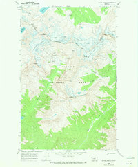
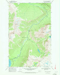
1968 Map of Mount Jackson
USGS Topo · Published 1972About this map
The Continental Divide winds through this high-altitude landscape within Glacier National Park, where the 1968 field survey recorded a massive complex of active ice fields. The map detail centers on Mount Jackson and is notable for its extensive documentation of the Jackson Glacier, Blackfoot Glacier, Harrison Glacier, and Pumpelly Glacier. These massive features define the drainage patterns of the region, feeding the St Mary River and Harrison Creek.
Find a feature on this map
29 named features on this map. Tap any name to fly to it.
Don’t see what you’re looking for? This feature index may not catch every label — zoom into the map to look around manually.
Map Details
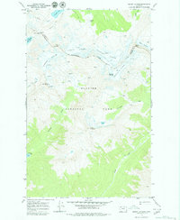
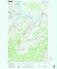
Editions of this 1968 Mount Jackson Map
3 editions found
Other maps of this area

1904 · Chief Mountain
USGS Topo · 1:125,000

1914 · Nyack
USGS Topo · 1:125,000

1938 · Chief Mountain
USGS Topo · 1:125,000

1960 · Cut Bank
USGS Topo · 1:250,000

1963 · Cut Bank
USGS Topo · 1:250,000

1964 · Cut Bank
USGS Topo · 1:250,000

1964 · Nyack
USGS Topo · 1:24,000

1964 · Stanton Lake
USGS Topo · 1:24,000
1964 · Mount Saint Nicholas
USGS Topo · 1:24,000
1968 · Mount Cannon
USGS Topo · 1:24,000