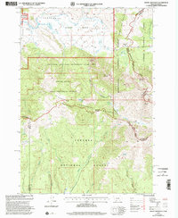
1997 Map of Mount Jefferson
USGS Topo · Published 2002About this map
The Continental Divide Scenic Trail snakes along the high ridges of the Centennial Mountains in this late-twentieth-century study of the Montana-Idaho border. The landscape is defined by its administrative and scientific designations, dominated by the Sheep Experiment Station and the Centennial Mountains Wilderness Study Area. In the north, the terrain drops into the Centennial Valley, where the edges of the Red Rock Lakes Nat Wildlife Rfg appear near Red Rock Creek. Notable peaks including Mount Jefferson and Nemesis Mountain anchor the high country, while remote water sources like Hidden Lake and Icehouse Creek illustrate the watershed's complexity. The presence of the Alaska Basin and Rock Creek Basin highlights the glacial-carved nature of these summits, serving as a record of high-altitude land management just before the turn of the millennium.
Find a feature on this map
40 named features on this map. Tap any name to fly to it.
Don’t see what you’re looking for? This feature index may not catch every label — zoom into the map to look around manually.
Map Details
Editions of this 1997 Mount Jefferson Map
This is the sole edition of this map. No revisions or reprints were ever made.
Other maps of this area
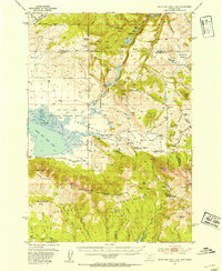
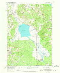
1950 · Upper Red Rock Lake
USGS Topo · 1:62,500

1955 · Ashton
USGS Topo · 1:250,000

1958 · Ashton
USGS Topo · 1:250,000

1960 · Ashton
USGS Topo · 1:250,000
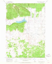
1964 · Island Park Dam
USGS Topo · 1:24,000
1964 · Targhee Peak
USGS Topo · 1:24,000
1964 · Sawtell PK
USGS Topo · 1:24,000
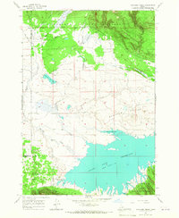
1964 · Henrys Lake
USGS Topo · 1:62,500
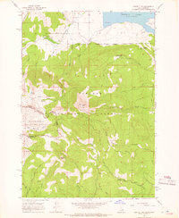
1965 · Icehouse Creek
USGS Topo · 1:24,000
1965 · Sheridan Reservoir
USGS Topo · 1:24,000