
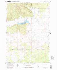
1965 Map of Sheridan Reservoir
USGS Topo · Published 1967About this map
Targhee National Forest dominates this mid-1960s landscape, where the high-altitude topography is defined by the prominent Sheridan Ridge and its surrounding water systems. At the heart of the terrain lies the Sheridan Reservoir, which serves as a central collection point for the East Fork Sheridan Creek and Sheridan Creek. The map documents a network of high-country access points, including the Headquarters Trail and various unpaved routes like the Jeep Trail that wind through the timbered sections of the forest.
Find a feature on this map
21 named features on this map. Tap any name to fly to it.
Don’t see what you’re looking for? This feature index may not catch every label — zoom into the map to look around manually.
Map Details
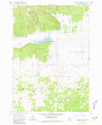
Editions of this 1965 Sheridan Reservoir Map
3 editions found
Other maps of this area

1950 · Lower Red Rock Lake
USGS Topo · 1:62,500

1950 · Upper Red Rock Lake
USGS Topo · 1:62,500

1955 · Ashton
USGS Topo · 1:250,000

1958 · Ashton
USGS Topo · 1:250,000

1960 · Ashton
USGS Topo · 1:250,000
1965 · Icehouse Creek
USGS Topo · 1:24,000

1965 · Crystal Butte
USGS Topo · 1:24,000
1965 · Bishop Mountain
USGS Topo · 1:24,000

1972 · Pine Butte
USGS Topo · 1:24,000

1972 · Antelope Valley
USGS Topo · 1:24,000