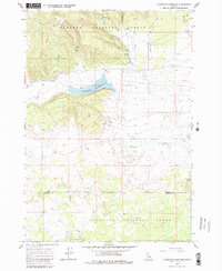
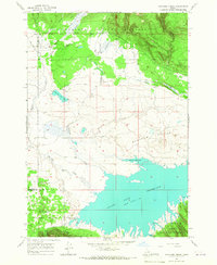
1965 Map of Sheridan Reservoir
USGS Topo · Published 1981About this map
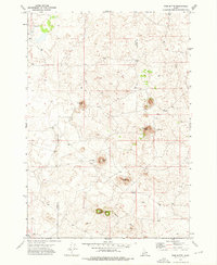
Targhee National Forest dominates this high-altitude landscape along the border of Clark and Fremont counties. The central feature is the Sheridan Reservoir, which captures the drainage of several mountain streams including Taylor Creek, Meadow Creek, and the East Fork Sheridan Creek. Rising south of the water is the prominent Sheridan Ridge, a significant terrain feature that shapes the local hydrology.
Find a feature on this map
13 named features on this map. Tap any name to fly to it.
Don’t see what you’re looking for? This feature index may not catch every label — zoom into the map to look around manually.
Map Details
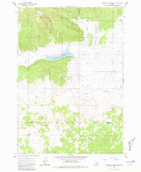
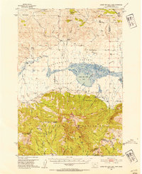
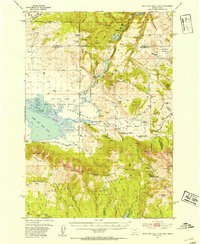
Editions of this 1965 Sheridan Reservoir Map
3 editions found
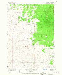
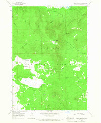
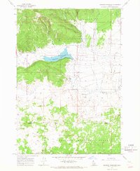
Other maps of this area
1950 · Lower Red Rock Lake
USGS Topo · 1:62,500
1950 · Upper Red Rock Lake
USGS Topo · 1:62,500

1955 · Ashton
USGS Topo · 1:250,000

1958 · Ashton
USGS Topo · 1:250,000

1960 · Ashton
USGS Topo · 1:250,000
1965 · Icehouse Creek
USGS Topo · 1:24,000
1965 · Crystal Butte
USGS Topo · 1:24,000
1965 · Bishop Mountain
USGS Topo · 1:24,000
1965 · Sheridan Reservoir
USGS Topo · 1:24,000
1972 · Pine Butte
USGS Topo · 1:24,000