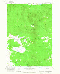
1965 Map of Bishop Mountain
USGS Topo · Published 1967About this map
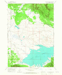
Island Park Reservoir borders the northern edge of this high-altitude landscape, where the waters are held at a spillway elevation of 6302 feet. The terrain is defined by the massive volcanic features of the Targhee National Forest, including the prominent Bishop Mountain and the distinct volcanic form of Little Butte. A lookout tower stands atop the summit of Bishop Mountain, overlooking a network of drainages such as Cooney Canyon and Green Canyon. The transition from forested ridges like Thurman Ridge to the broad expanses of North Antelope Flat and Antelope Flat highlights the diverse topography of this Fremont County region. Water management is evident throughout the dry flats, marked by the Smead Well, Sagebrush Spring Reservoir, and Wet Weather Reservoir, which supported local livestock and forest operations in the mid-1960s.
Find a feature on this map
32 named features on this map. Tap any name to fly to it.
Don’t see what you’re looking for? This feature index may not catch every label — zoom into the map to look around manually.
Map Details
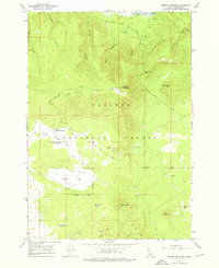
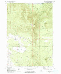
Editions of this 1965 Bishop Mountain Map
3 editions found
Other maps of this area

1955 · Ashton
USGS Topo · 1:250,000

1958 · Ashton
USGS Topo · 1:250,000

1960 · Ashton
USGS Topo · 1:250,000

1964 · Island Park Dam
USGS Topo · 1:24,000

1964 · Last Chance
USGS Topo · 1:24,000
1965 · Split Butte
USGS Topo · 1:24,000

1965 · Lookout Butte
USGS Topo · 1:24,000

1965 · Blue Creek Reservoir
USGS Topo · 1:24,000
1965 · Icehouse Creek
USGS Topo · 1:24,000

1965 · Crystal Butte
USGS Topo · 1:24,000