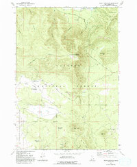
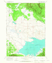
1965 Map of Bishop Mountain
USGS Topo · Published 1994About this map
Bishop Mountain rises as a central landmark in this high-altitude landscape where the Targhee National Forest meets the southern reaches of Island Park Reservoir. The 1965 field check captures a wilderness managed for diverse uses, from the Harriman State Park boundary near Thurman Ridge to the Sand Creek Wildlife Management Area. A network of 4WD tracks and roads like Antelope Road and Smead Well Road connect vital water sources including Sagebrush Spring Reservoir and Lyle Spring.
Find a feature on this map
70 named features on this map. Tap any name to fly to it.
Don’t see what you’re looking for? This feature index may not catch every label — zoom into the map to look around manually.
Map Details
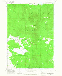
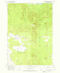
Editions of this 1965 Bishop Mountain Map
3 editions found
Other maps of this area

1955 · Ashton
USGS Topo · 1:250,000

1958 · Ashton
USGS Topo · 1:250,000

1960 · Ashton
USGS Topo · 1:250,000

1964 · Island Park Dam
USGS Topo · 1:24,000

1964 · Last Chance
USGS Topo · 1:24,000
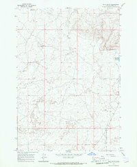
1965 · Split Butte
USGS Topo · 1:24,000

1965 · Lookout Butte
USGS Topo · 1:24,000

1965 · Blue Creek Reservoir
USGS Topo · 1:24,000
1965 · Icehouse Creek
USGS Topo · 1:24,000

1965 · Crystal Butte
USGS Topo · 1:24,000