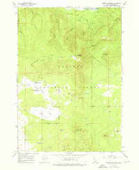
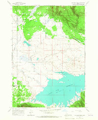
1965 Map of Bishop Mountain
USGS Topo · Published 1976About this map
Bishop Mountain serves as a prominent vantage point within the Targhee National Forest, crowned by a documented Lookout Tower that overlooked this high-country landscape during the mid-1960s. The topography is defined by a series of significant drainages including Porcupine Canyon, Cooney Canyon, and Smead Canyon, which carve through the high ridges of Thurmon Ridge and Big Bend Ridge.
Find a feature on this map
30 named features on this map. Tap any name to fly to it.
Don’t see what you’re looking for? This feature index may not catch every label — zoom into the map to look around manually.
Map Details
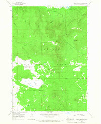
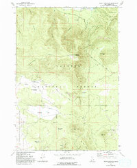
Editions of this 1965 Bishop Mountain Map
3 editions found
Other maps of this area

1955 · Ashton
USGS Topo · 1:250,000

1958 · Ashton
USGS Topo · 1:250,000

1960 · Ashton
USGS Topo · 1:250,000

1964 · Island Park Dam
USGS Topo · 1:24,000

1964 · Last Chance
USGS Topo · 1:24,000
1965 · Split Butte
USGS Topo · 1:24,000

1965 · Lookout Butte
USGS Topo · 1:24,000

1965 · Blue Creek Reservoir
USGS Topo · 1:24,000
1965 · Icehouse Creek
USGS Topo · 1:24,000

1965 · Crystal Butte
USGS Topo · 1:24,000