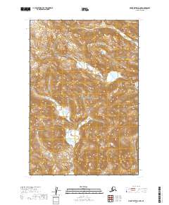
2019 Map of Mount Katmai A-2 NW
USGS Topo · Published 2019About this map
Katmai National Park encompasses the entirety of this interior Alaskan landscape, which is defined by high-altitude glacial terrain and significant elevation changes. The land is strictly partitioned by the Public Land Survey System, showing segments of t22s r33w, t22s r32w, t23s r33w, t23s r32w, t24s r33w, and t24s r32w. The survey highlights a remote wilderness environment where no modern roads or permanent settlements appear, preserved within the national park boundaries. Instead, the map reveals a series of high ridges and isolated alpine lakes, indicating a landscape shaped by volcanic activity and extreme northern climate conditions.
Find a feature on this map
7 named features on this map. Tap any name to fly to it.
Don’t see what you’re looking for? This feature index may not catch every label — zoom into the map to look around manually.
Map Details
Editions of this 2019 Mount Katmai A-2 NW Map
This is the sole edition of this map. No revisions or reprints were ever made.
Other maps of this area

1948 · Mt Katmai
USGS Topo · 1:250,000

1951 · Mt Katmai
USGS Topo · 1:250,000

1951 · Mount Katmai A-3
USGS Topo · 1:63,360

1951 · Mount Katmai A-2
USGS Topo · 1:63,360

1951 · Mount Katmai B-3
USGS Topo · 1:63,360

1951 · Mount Katmai B-2
USGS Topo · 1:63,360

1964 · Mt. Katmai
USGS Topo · 1:250,000
2019 · Mount Katmai B-3 SE
USGS Topo · 1:25,000
2019 · Mount Katmai A-3 NE
USGS Topo · 1:25,000
2019 · Mount Katmai A-2 NE
USGS Topo · 1:25,000