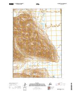
2019 Map of Mount Katmai A-4 SE
USGS Topo · Published 2019About this map
Katmai National Park encompasses this part of the Alaska Peninsula, where the landscape is defined by the broad drainage systems of the Katmai Valley and the Katmai River. The terrain transitions from the elevations of Topographers Peak in the west down toward the coastal waters of Katmai Bay in the southeast. This 2019 survey captures the hydrological network of the region, including the winding paths of Alagogshak Creek and Martin Creek as they move through the valley floor. The absence of roads or permanent settlements within these boundaries highlights the preserved wilderness character of the park, where surveying remains focused on the natural topography and watercourses that shape the Kodiak Island Borough interior.
Find a feature on this map
13 named features on this map. Tap any name to fly to it.
Don’t see what you’re looking for? This feature index may not catch every label — zoom into the map to look around manually.
Map Details
Editions of this 2019 Mount Katmai A-4 SE Map
This is the sole edition of this map. No revisions or reprints were ever made.
Other maps of this area

1948 · Mt Katmai
USGS Topo · 1:250,000

1951 · Mt Katmai
USGS Topo · 1:250,000

1951 · Karluk
USGS Topo · 1:250,000

1951 · Mount Katmai A-3
USGS Topo · 1:63,360

1951 · Karluk D-4
USGS Topo · 1:63,360

1951 · Mount Katmai A-4
USGS Topo · 1:63,360

1952 · Karluk
USGS Topo · 1:250,000

1964 · Mt. Katmai
USGS Topo · 1:250,000

1964 · Karluk
USGS Topo · 1:250,000
2019 · Mount Katmai A-4 NW
USGS Topo · 1:25,000