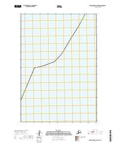
2019 Map of Mount Katmai B-1 OE E SW
USGS Topo · Published 2019About this map
Pacific Ocean waters dominate this coastal sector along the border of the Kodiak Island Borough. The map illustrates a remote maritime boundary where the borough line meets the open sea, providing a rare look at the formal division of Alaska territorial waters. Absent of terrestrial landmarks or settlements, the sheet serves as a precise cartographic record of the Public Land Survey System (PLSS) grid as it extends into the coastal zone, specifically highlighting Township 21 South, Range 29 West. This specific focus on the intersection of administrative boundaries and the sea makes it a specialized tool for understanding the legal and geographic limits of the borough during this period.
Find a feature on this map
19 named features on this map. Tap any name to fly to it.
Don’t see what you’re looking for? This feature index may not catch every label — zoom into the map to look around manually.
Map Details
Editions of this 2019 Mount Katmai B-1 OE E SW Map
This is the sole edition of this map. No revisions or reprints were ever made.
Other maps of this area

1948 · Mt Katmai
USGS Topo · 1:250,000

1951 · Mt Katmai
USGS Topo · 1:250,000
1951 · Mount Katmai A-1
USGS Topo · 1:63,360

1951 · Mount Katmai B-1
USGS Topo · 1:63,360

1952 · Afognak
USGS Topo · 1:250,000

1964 · Mt. Katmai
USGS Topo · 1:250,000
2019 · Mount Katmai B-1 SE
USGS Topo · 1:25,000
2019 · Mount Katmai B-1 NE
USGS Topo · 1:25,000
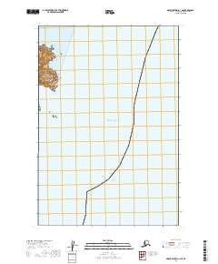
2019 · Mount Katmai A-1 NE
USGS Topo · 1:25,000
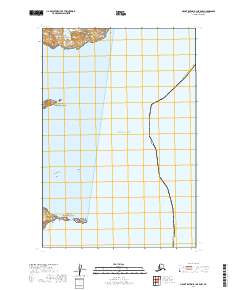
2019 · Mount Katmai B-1 OE E NW
USGS Topo · 1:25,000