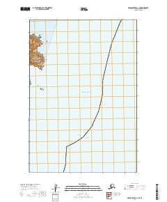
2019 Map of Mount Katmai A-1 NE
USGS Topo · Published 2019About this map
Katmai National Park encompasses the jagged coastal edge of the Alaska Peninsula documented in this 2019 survey. The map details the transition from the steep, contour-heavy headlands of Cape Gull to the expansive waters of the Pacific Ocean. This coastal segment is characterized by the deep inlet of Kukak Bay, which cuts into the coastline at the northern edge of the sheet. The landscape is primarily defined by its protected wilderness status and maritime orientation, with the Public Land Survey System grids t22s r30w, t23s r30w, and t24s r30w providing a geometric framework over the largely roadless terrain. The absence of modern development highlights the preserved natural state of this remote section of the borough.
Find a feature on this map
7 named features on this map. Tap any name to fly to it.
Don’t see what you’re looking for? This feature index may not catch every label — zoom into the map to look around manually.
Map Details
Editions of this 2019 Mount Katmai A-1 NE Map
This is the sole edition of this map. No revisions or reprints were ever made.
Other maps of this area

1948 · Mt Katmai
USGS Topo · 1:250,000

1951 · Mt Katmai
USGS Topo · 1:250,000
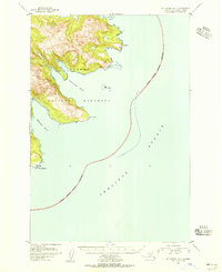
1951 · Mount Katmai A-1
USGS Topo · 1:63,360

1951 · Mount Katmai B-1
USGS Topo · 1:63,360

1952 · Afognak
USGS Topo · 1:250,000

1964 · Mt. Katmai
USGS Topo · 1:250,000
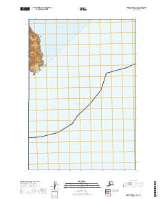
2019 · Mount Katmai A-1 SW
USGS Topo · 1:25,000
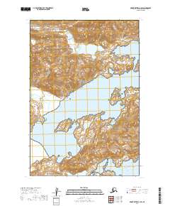
2019 · Mount Katmai B-1 SW
USGS Topo · 1:25,000
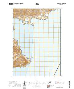
2019 · Mount Katmai B-1 SE
USGS Topo · 1:25,000
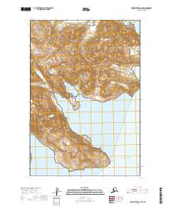
2019 · Mount Katmai A-1 NW
USGS Topo · 1:25,000