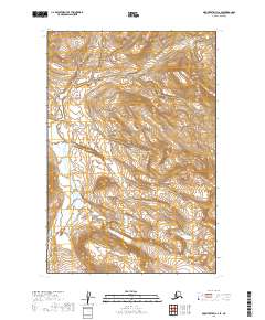
2019 Map of Mount Katmai C-2 SE
USGS Topo · Published 2019About this map
Katmai National Park encompasses the glaciated terrain and braided waterways of this 2019 survey, where the Savonoski River flows through a broad alluvial valley at the base of steep topographic rises. The landscape is defined by the massive Hook Glacier and an intricate system of drainages that reflect the dynamic hydrologic character of the Lake and Peninsula Borough. This map reveals a wilderness area devoid of modern infrastructure, preserving the natural state of the Alaskan interior as it appeared in the early 21st century. The township and range markers, such as t19s r32w and t18s r31w, provide the only formal human-defined grid over this otherwise unroaded expanse of riverbed and mountain ice.
Find a feature on this map
7 named features on this map. Tap any name to fly to it.
Don’t see what you’re looking for? This feature index may not catch every label — zoom into the map to look around manually.
Map Details
Editions of this 2019 Mount Katmai C-2 SE Map
This is the sole edition of this map. No revisions or reprints were ever made.
Other maps of this area

1948 · Mt Katmai
USGS Topo · 1:250,000

1951 · Mt Katmai
USGS Topo · 1:250,000

1951 · Mount Katmai C-2
USGS Topo · 1:63,360

1951 · Mount Katmai C-1
USGS Topo · 1:63,360

1951 · Mount Katmai B-1
USGS Topo · 1:63,360

1951 · Mount Katmai B-2
USGS Topo · 1:63,360
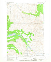
1953 · Mount Katmai C-2
USGS Topo · 1:63,360

1964 · Mt. Katmai
USGS Topo · 1:250,000
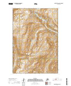
2019 · Mount Katmai C-2 NW
USGS Topo · 1:25,000
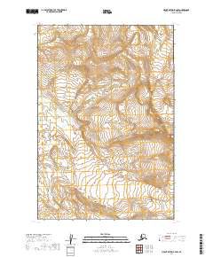
2019 · Mount Katmai B-2 NW
USGS Topo · 1:25,000