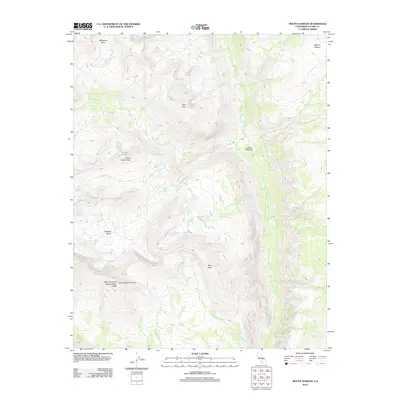
2012 Map of Mount Kaweah
USGS Topo · Published 2012About this map
Mount Kaweah Kaweah Peaks Ridge anchors this high-elevation landscape in the southern Sierra Nevada, where the Great Western Divide meets a complex network of alpine drainages. The hydrology of this Tulare County wilderness is defined by the Kern-Kaweah River and the southward-flowing Kern River, which gathers numerous tributaries including Tyndall Cr, Wright Cr, and Wallace Cr. The presence of features like Junction Meadow and Milestone Bowl suggests a terrain of high-altitude basins and glacial carved valleys that have long challenged and inspired explorers of the California backcountry.
Find a feature on this map
18 named features on this map. Tap any name to fly to it.
Don’t see what you’re looking for? This feature index may not catch every label — zoom into the map to look around manually.
Map Details
Editions of this 2012 Mount Kaweah Map
This is the sole edition of this map. No revisions or reprints were ever made.
Other maps of this area

1903 · Tehipite
USGS Topo · 1:125,000

1904 · Kaweah
USGS Topo · 1:125,000

1905 · Tehipite
USGS Topo · 1:125,000

1905 · Olancha
USGS Topo · 1:125,000

1907 · Olancha
USGS Topo · 1:125,000

1907 · Mt. Whitney
USGS Topo · 1:125,000

1909 · Kaweah
USGS Topo · 1:125,000

1919 · Mt. Whitney
USGS Topo · 1:125,000

1937 · Mt. Whitney
USGS Topo · 1:125,000

1937 · Kaweah
USGS Topo · 1:125,000