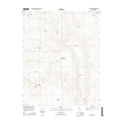
2015 Map of Mount Kaweah
USGS Topo · Published 2015About this map
Mt Kaweah stands as a primary landmark in this high-elevation sector of the Sierra Nevada, where dramatic topographic changes define the landscape within Sequoia National Park. The map documents a complex hydrological system where the Kern River and its tributaries, including Wallace Cr and Whitney Cr, carve through deep formations like Kern Canyon. The intersection of the Great Western Divide and the Kings-Kern Divide highlights the region's importance as a continental drainage boundary. High-altitude meadows and basins, such as Junction Meadow and the Kaweah Basin, provide rare level terrain amidst the peaks. For modern explorers, the presence of the Pacific Crest National Scenic Trail near the Bighorn Plateau and the passage through Colby Pass underscores the area's legacy as a vital corridor for wilderness travel and conservation.
Find a feature on this map
31 named features on this map. Tap any name to fly to it.
Don’t see what you’re looking for? This feature index may not catch every label — zoom into the map to look around manually.
Map Details
Editions of this 2015 Mount Kaweah Map
This is the sole edition of this map. No revisions or reprints were ever made.
Other maps of this area

1903 · Tehipite
USGS Topo · 1:125,000

1904 · Kaweah
USGS Topo · 1:125,000

1905 · Tehipite
USGS Topo · 1:125,000

1905 · Olancha
USGS Topo · 1:125,000

1907 · Olancha
USGS Topo · 1:125,000

1907 · Mt. Whitney
USGS Topo · 1:125,000

1909 · Kaweah
USGS Topo · 1:125,000

1919 · Mt. Whitney
USGS Topo · 1:125,000

1937 · Mt. Whitney
USGS Topo · 1:125,000

1937 · Kaweah
USGS Topo · 1:125,000