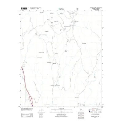
2012 Map of Mount Laguna
USGS Topo · Published 2012About this map
Mount Laguna serves as a central hub for this high-elevation landscape, where the Sunrise Hwy winds through a complex geography of ravines and meadows. The area's legacy of ranching and mountain recreation is evident in the presence of Crouch Ranch, Morris Ranch, and Laguna Ranch, alongside developed forest sites like Burnt Rancheria Campground and the Agua Dulce Campground. Drainage patterns are defined by the headwaters of Kitchen Cr and Cottonwood Cr, which carve through features such as Kitchen Valley and Cibbets Flat. The map also details the Laguna Mountain Volunteer Association and local landmarks like Piñon Point and Sheephead Mountain, illustrating a landscape managed for both seasonal visitors and long-standing rural residents in the Laguna Mountains.
Find a feature on this map
61 named features on this map. Tap any name to fly to it.
Don’t see what you’re looking for? This feature index may not catch every label — zoom into the map to look around manually.
Map Details
Editions of this 2012 Mount Laguna Map
This is the sole edition of this map. No revisions or reprints were ever made.
Other maps of this area

1903 · Cuyamaca
USGS Topo · 1:125,000

1904 · Southern California Sheet No. 2
USGS Topo · 1:250,000

1931 · Carrizo
USGS Topo · 1:125,000

1939 · Campo
USGS Topo · 1:62,500

1942 · Potrero
USGS Topo · 1:48,000

1942 · Campo
USGS Topo · 1:62,500

1942 · Cuyapaipe
USGS Topo · 1:62,500

1942 · Cuyamaca Peak
USGS Topo · 1:62,500

1944 · Potrero
USGS Topo · 1:62,500

1944 · Cuyamaca Peak
USGS Topo · 1:62,500