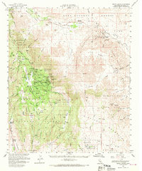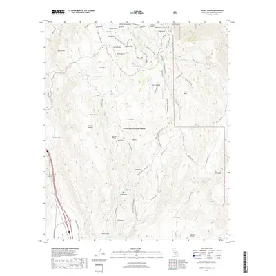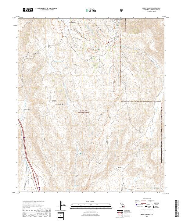
1997 Map of Mount Laguna
USGS Topo · Published 2000About this map
The high backcountry of the Laguna Mountains centers on this 1997 revision, where the complex boundary lines of the Cleveland National Forest meet the tribal lands of the Cuyapaipe Indian Reservation and La Posta Indian Reservation. The landscape is defined by its deep drainage ravines like Noble Canyon and Escondido Ravine, alongside high peaks such as Monument Peak and Stephenson Peak. This era shows a community structured around both conservation and research, featuring the Laguna Mtn Observatory and the Meadows Information Center.
Find a feature on this map
75 named features on this map. Tap any name to fly to it.
Don’t see what you’re looking for? This feature index may not catch every label — zoom into the map to look around manually.
Map Details
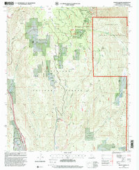
Editions of this 1997 Mount Laguna Map
This is the sole edition of this map. No revisions or reprints were ever made.
Historical Maps of Mount Laguna Through Time
7 maps found