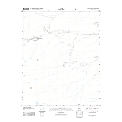
2012 Map of Mount Langley
USGS Topo · Published 2012About this map
Whitney Portal serves as the focal point for this high-altitude landscape, where several mountain-access points converge. The area is defined by massive peaks including Mount Langley, Lone Pine Peak, and Mount Corcoran, providing the dramatic backdrop for a network of recreational infrastructure. A cluster of facilities near the end of Whitney Portal Rd includes the Whitney Portal Campground and the Whitney Portal Picnic Area, while the Meysan Lake Trailhead offers a route toward higher elevations.
Find a feature on this map
28 named features on this map. Tap any name to fly to it.
Don’t see what you’re looking for? This feature index may not catch every label — zoom into the map to look around manually.
Map Details
Editions of this 2012 Mount Langley Map
This is the sole edition of this map. No revisions or reprints were ever made.
Other maps of this area

1905 · Olancha
USGS Topo · 1:125,000

1907 · Olancha
USGS Topo · 1:125,000

1907 · Mt. Whitney
USGS Topo · 1:125,000

1919 · Mt. Whitney
USGS Topo · 1:125,000

1937 · Mt. Whitney
USGS Topo · 1:125,000

1948 · Fresno
USGS Topo · 1:250,000

1955 · Fresno
USGS Topo · 1:250,000

1956 · Fresno
USGS Topo · 1:250,000

1956 · Mount Whitney
USGS Topo · 1:62,500

1956 · Olancha
USGS Topo · 1:62,500