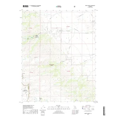
2018 Map of Mount Langley
USGS Topo · Published 2018About this map
Whitney Portal serves as a critical gateway to the high Sierra peaks within the Inyo National Forest, situated just east of the boundary with Sequoia National Park. The landscape is dominated by massive granite features including Mt Langley, Mt Corcoran, and Lone Pine Peak, while the dramatic drainage of Lone Pine Cr and Meysan Cr carve deep canyons through the batholith. This map documents the complex recreational and hydrological network of the area, from the alpine waters of Meysan Lake and Peanut Lake to the lower elevation Movie Flat, a location long associated with the regional film industry. High-altitude meadows such as Big Cottonwood Meadows and remote water bodies like Muir Lake highlight the contrast between the sharp verticality of the peaks and the delicate subalpine ecosystems they protect. Traceable paths like the Upper Alabama Hills Trail and Sandy Trail connect the lower desert floor to these towering eastern Sierra landmarks.
Find a feature on this map
37 named features on this map. Tap any name to fly to it.
Don’t see what you’re looking for? This feature index may not catch every label — zoom into the map to look around manually.
Map Details
Editions of this 2018 Mount Langley Map
This is the sole edition of this map. No revisions or reprints were ever made.
Other maps of this area

1905 · Olancha
USGS Topo · 1:125,000

1907 · Olancha
USGS Topo · 1:125,000

1907 · Mt. Whitney
USGS Topo · 1:125,000

1919 · Mt. Whitney
USGS Topo · 1:125,000

1937 · Mt. Whitney
USGS Topo · 1:125,000

1948 · Fresno
USGS Topo · 1:250,000

1955 · Fresno
USGS Topo · 1:250,000

1956 · Fresno
USGS Topo · 1:250,000

1956 · Mount Whitney
USGS Topo · 1:62,500

1956 · Olancha
USGS Topo · 1:62,500