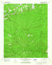
1964 Map of Mount Le Conte
USGS Topo · Published 1966About this map
Gatlinburg and the high ridges of the Great Smoky Mountains National Park define this mid-1960s survey of Sevier County. The landscape is a mix of developing resort infrastructure, such as the Open-Air Theater and Gatlinburg-Pittman High Sch, and the preserved homesteads of earlier mountain life like the Alfred Reagan Place and Ephraim Bales Place. The map highlights the high-elevation terrain around Mount Le Conte, reaching from the Le Conte Lodge and Cliff Top down to the Alum Cave and Rainbow Falls. These features, along with the Appalachian Trail following the state boundary, show the transition of the region into a premier destination for hikers and conservationists. Local history is preserved in sites like the Proffitt Cem and the small settlement of Cartertown, while the Greenbrier Ranger Sta marks the management of the surrounding wilderness.
Find a feature on this map
107 named features on this map. Tap any name to fly to it.
Don’t see what you’re looking for? This feature index may not catch every label — zoom into the map to look around manually.
Map Details
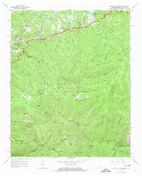
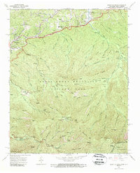
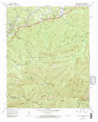
Editions of this 1964 Mount Le Conte Map
4 editions found
Other maps of this area

1886 · Knoxville
USGS Topo · 1:125,000

1892 · Knoxville
USGS Topo · 1:125,000

1893 · Mt Guyot
USGS Topo · 1:125,000

1894 · Knoxville
USGS Topo · 1:125,000

1895 · Knoxville
USGS Topo · 1:125,000

1901 · Knoxville
USGS Topo · 1:125,000

1912 · Mt Guyot
USGS Topo · 1:125,000

1935 · English Mountain
USGS Topo · 1:48,000

1935 · Jones Cove
USGS Topo · 1:24,000

1935 · Richardson Cove
USGS Topo · 1:24,000