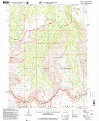
1996 Map of Mount Lovenia
USGS Topo · Published 1999About this map
The High Uintas, as documented in the mid-1990s, reveal a landscape defined by the convergence of multiple wilderness management areas and massive glacial drainage systems. This specific sheet marks the intersection of the Wasatch-Cache National Forest and the Ashley National Forest, centered on the protected reaches of the High Uintas Wilderness. High-altitude hydrology is the primary feature, with the headwaters of the Middle Fork Blacks Fork and East Fork Blacks Fork carving deep north-running paths away from the divide.
Find a feature on this map
21 named features on this map. Tap any name to fly to it.
Don’t see what you’re looking for? This feature index may not catch every label — zoom into the map to look around manually.
Map Details
Editions of this 1996 Mount Lovenia Map
This is the sole edition of this map. No revisions or reprints were ever made.
Other maps of this area

1885 · Uinta
USGS Topo · 1:250,000

1901 · Hayden Peak
USGS Topo · 1:125,000

1903 · Hayden Peak
USGS Topo · 1:125,000

1905 · Gilbert Peak
USGS Topo · 1:125,000

1906 · Gilbert Peak
USGS Topo · 1:125,000

1954 · Salt Lake City
USGS Topo · 1:250,000

1958 · Salt Lake City
USGS Topo · 1:250,000

1960 · Salt Lake City
USGS Topo · 1:250,000

1967 · Explorer Peak
USGS Topo · 1:24,000
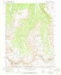
1967 · Mount Lovenia
USGS Topo · 1:24,000