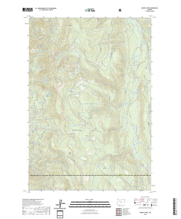
2024 Map of Mount Lowe
USGS Topo · Published 2024About this map
Mount Hood National Forest encompasses the high-elevation terrain of the Clackamas region, where steep drainages and meadow systems define the landscape. The Clackamas River serves as the primary corridor along the eastern edge of the quadrangle, flanked by the Clackamas Wilderness. This area is characterized by significant topographic relief, peaking at Mt Lowe and the Granite Peaks to the northwest. The presence of several distinct meadows, such as Rhododendron Meadow and Fawn Meadow, suggests a complex montane ecosystem where water sources like Tarzan Springs and Ochre Creek support local flora. The southern portion of the map transitions into the Bull of the Woods Wilderness, while the county boundary between Clackamas Co and Marion Co runs across the southern slopes. For those tracing the evolution of forest access, the Rhododendron Ridge Trl and Round Lake Trl provide evidence of managed recreation and firefighting infrastructure within these protected lands.
Find a feature on this map
60 named features on this map. Tap any name to fly to it.
Don’t see what you’re looking for? This feature index may not catch every label — zoom into the map to look around manually.
Map Details
Editions of this 2024 Mount Lowe Map
This is the sole edition of this map. No revisions or reprints were ever made.
Other maps of this area

1916 · Estacada
USGS Topo · 1:125,000

1924 · Mount Hood
USGS Topo · 1:125,000

1927 · Mount Hood
USGS Topo · 1:125,000

1927 · Mt. Jefferson
USGS Topo · 1:125,000

1929 · Mill City
USGS Topo · 1:125,000

1930 · Mt. Jefferson
USGS Topo · 1:125,000

1948 · Vancouver
USGS Topo · 1:250,000

1950 · Vancouver
USGS Topo · 1:250,000

1950 · Vancouver
USGS Topo · 1:250,000

1953 · Salem
USGS Topo · 1:250,000