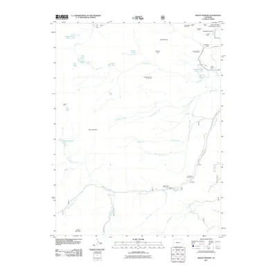
2011 Map of Mount Massive
USGS Topo · Published 2011About this map
Mount Massive dominates the central landscape of this Colorado high-country survey, surrounded by a complex network of glacial lakes and alpine drainages. To the east, the Leadville National Fish Hatchery stands as a significant landmark near Evergreen Lakes, highlighting the area's long-standing conservation and resource management history. The map preserves a clear record of the region's mining legacy, particularly in the northeastern corner where several subterranean operations are clustered. These industrial features, including the Little Keystone Shaft Mine, Venture Shaft, and the Nelson Tunnel, indicate the extensive underground exploration for minerals near Sugarloaf Gulch. In the lower elevations, the reach of Halfmoon Creek and Elbert Creek provides space for seasonal recreation at the Halfmoon Campground and Elbert Creek Campground, while high-altitude waters like Windsor Lake and the North Halfmoon Lakes define the western wilderness terrain.
Find a feature on this map
49 named features on this map. Tap any name to fly to it.
Don’t see what you’re looking for? This feature index may not catch every label — zoom into the map to look around manually.
Map Details
Editions of this 2011 Mount Massive Map
This is the sole edition of this map. No revisions or reprints were ever made.
Other maps of this area

1889 · Leadville
USGS Topo · 1:125,000

1891 · Leadville
USGS Topo · 1:125,000

1909 · Mount Jackson
USGS Topo · 1:125,000

1911 · Mount Jackson
USGS Topo · 1:125,000

1935 · Mount Elbert
USGS Topo · 1:62,500

1938 · Mount Elbert
USGS Topo · 1:62,500

1939 · Mount Elbert
USGS Topo · 1:62,500

1942 · Leadville
USGS Topo · 1:125,000

1949 · Holy Cross
USGS Topo · 1:62,500

1951 · Holy Cross
USGS Topo · 1:62,500