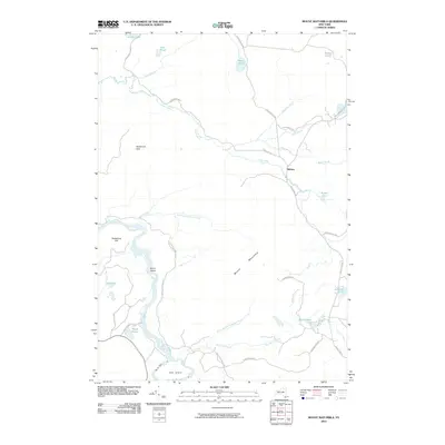
2010 Map of Mount Matumbla
USGS Topo · Published 2010About this map
Mount Matumbla dominates the central landscape of this Adirondack region, serving as a significant landmark in a territory defined by intricate waterways and dense forest. The small settlement of Kildare is positioned at a junction of backcountry routes including Kildare Rd and Willis Pond Rd, illustrating the sparse, wood-linked habitation patterns of the northern New York wilderness.
Find a feature on this map
31 named features on this map. Tap any name to fly to it.
Don’t see what you’re looking for? This feature index may not catch every label — zoom into the map to look around manually.
Map Details
Editions of this 2010 Mount Matumbla Map
This is the sole edition of this map. No revisions or reprints were ever made.
Other maps of this area

1904 · Long Lake
USGS Topo · 1:62,500

1905 · Saint Regis
USGS Topo · 1:62,500

1907 · Tupper Lake
USGS Topo · 1:62,500

1920 · Childwold
USGS Topo · 1:62,500

1921 · Childwold
USGS Topo · 1:48,000

1922 · Childwold
USGS Topo · 1:62,500

1948 · Ogdensburg
USGS Topo · 1:250,000

1951 · Ogdensburg
USGS Topo · 1:250,000

1953 · Ogdensburg
USGS Topo · 1:250,000

1954 · Tupper Lake
USGS Topo · 1:62,500