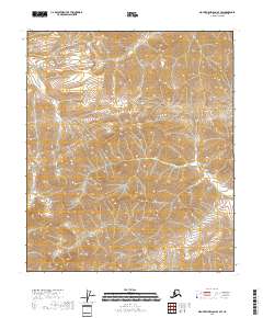
2018 Map of Mount Michelson A-4 SW
USGS Topo · Published 2018About this map
Pogopuk Cr winds through the northwestern reaches of this Arctic terrain, marking one of the few named watercourses in a landscape dominated by dramatic elevation changes. The North Slope’s characteristic drainage patterns are evident as Salishicru Cr and Juniper Cr carve through the high-altitude topography. These remote corridors, documented by the U.S. Geological Survey using 2009 imagery and later hydrography datasets, illustrate the complex watershed of the Brooks Range foothills. The map defines the boundaries of t4s r24e, t4s r25e, t5s r24e, and t5s r25e, providing a precise look at the Public Land Survey System grid in a region devoid of permanent settlements or infrastructure. It serves as a vital reference for understanding the natural geography of the North Slope Borough before more recent environmental shifts.
Find a feature on this map
7 named features on this map. Tap any name to fly to it.
Don’t see what you’re looking for? This feature index may not catch every label — zoom into the map to look around manually.
Map Details
Editions of this 2018 Mount Michelson A-4 SW Map
This is the sole edition of this map. No revisions or reprints were ever made.
Other maps of this area

1951 · Arctic
USGS Topo · 1:250,000

1951 · Mt. Michelson
USGS Topo · 1:250,000

1956 · Arctic
USGS Topo · 1:250,000

1956 · Mt. Michelson
USGS Topo · 1:250,000
1971 · Arctic D-5
USGS Topo · 1:63,360
1971 · Mount Michelson A-5
USGS Topo · 1:63,360
1983 · Mount Michelson A-4
USGS Topo · 1:63,360
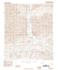
1983 · Arctic D-4
USGS Topo · 1:63,360
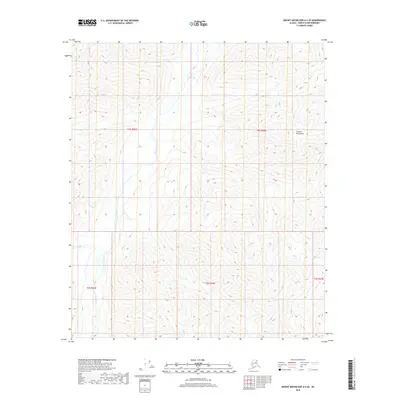
2018 · Mount Michelson A-4 SE
USGS Topo · 1:25,000
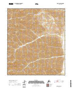
2018 · Arctic D-4 NW
USGS Topo · 1:25,000