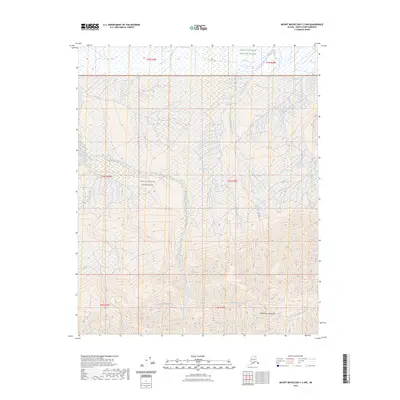
2023 Map of Mount Michelson C-2 NW
USGS Topo · Published 2023About this map
The Sadlerochit Mountains dominate the southern landscape of this terrain, where steep ridges give way to a complex network of arctic waterways. This area is entirely contained within the Arctic National Wildlife Refuge and includes significant portions of the Mollie Beattie Wilderness. The drainage patterns here are particularly striking, with the Nularvik River and its primary tributaries, West Nularvik Creek and East Nularvik Creek, cutting deep valleys through the upland. To the east, Marsh Creek and its associated West Fork Marsh Creek flow toward the coastal plain, while Camp 263 Creek marks a specific point of reference in the southeastern corner of the quadrangle. The lack of any man-made infrastructure or established roads emphasizes the remote, undisturbed character of this northern Alaskan wilderness.
Find a feature on this map
15 named features on this map. Tap any name to fly to it.
Don’t see what you’re looking for? This feature index may not catch every label — zoom into the map to look around manually.
Map Details
Editions of this 2023 Mount Michelson C-2 NW Map
This is the sole edition of this map. No revisions or reprints were ever made.
Other maps of this area

1951 · Mt. Michelson
USGS Topo · 1:250,000

1955 · Mount Michelson C-3
USGS Topo · 1:63,360

1955 · Mount Michelson D-3
USGS Topo · 1:63,360

1955 · Mount Michelson C-2
USGS Topo · 1:63,360

1955 · Mount Michelson D-2
USGS Topo · 1:63,360

1956 · Mt. Michelson
USGS Topo · 1:250,000

1975 · Mount Michelson C-3
USGS Topo · 1:63,360
2018 · Mount Michelson C-3 SE
USGS Topo · 1:25,000
2018 · Mount Michelson C-2 NW
USGS Topo · 1:25,000
2018 · Mount Michelson C-2 SW
USGS Topo · 1:25,000