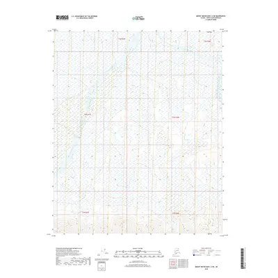
2018 Map of Mount Michelson C-3 NE
USGS Topo · Published 2018About this map
Katakturuk River and Vularvik River define this remote Arctic coastal plain landscape within the North Slope Borough. This 2018 survey documents a region characterized by its hydrological patterns, showing the braids and shifts of these watercourses as they move through the northern wilderness. The absence of roads or permanent settlements highlighted in the source indicates a landscape shaped primarily by seasonal cycles and environmental shifts. For researchers and those interested in the topography of Northern Alaska, the map provides a precise record of the terrain and drainage systems as they existed in the early 21st century, prior to further environmental or climate-driven alterations to the permafrost-underlain ground.
Find a feature on this map
8 named features on this map. Tap any name to fly to it.
Don’t see what you’re looking for? This feature index may not catch every label — zoom into the map to look around manually.
Map Details
Editions of this 2018 Mount Michelson C-3 NE Map
This is the sole edition of this map. No revisions or reprints were ever made.
Other maps of this area

1951 · Mt. Michelson
USGS Topo · 1:250,000

1955 · Mount Michelson C-3
USGS Topo · 1:63,360

1955 · Mount Michelson D-3
USGS Topo · 1:63,360

1955 · Mount Michelson C-2
USGS Topo · 1:63,360

1955 · Mount Michelson D-2
USGS Topo · 1:63,360

1956 · Mt. Michelson
USGS Topo · 1:250,000

1975 · Mount Michelson C-3
USGS Topo · 1:63,360
2018 · Mount Michelson C-3 SE
USGS Topo · 1:25,000
2018 · Mount Michelson C-2 NW
USGS Topo · 1:25,000
2018 · Mount Michelson C-2 SW
USGS Topo · 1:25,000