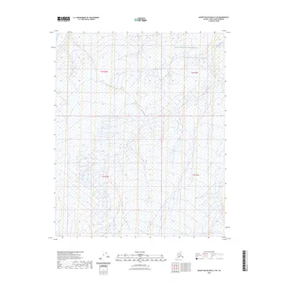
2023 Map of Mount Michelson D-2 SW
USGS Topo · Published 2023About this map
Arctic National Wildlife Refuge encompasses this entire coastal plain landscape in the northernmost reaches of Alaska. This area, largely defined by its intricate drainage patterns, is dominated by the north-flowing waters of Marsh Creek and its tributary, the West Fork Marsh Creek. The hydrology is characterized by dense networks of wetlands and ponds, illustrating the seasonal rhythms of the North Slope tundra. Surveyed sections under the Public Land Survey System, such as t6n r28e and t6n r29e, provide the only man-made markers in this otherwise uninhabited wilderness. The map details the transition of the terrain as it slopes toward the Beaufort Sea, offering a granular view of the permafrost-shaped topography and the fragile river systems that define this part of the borough.
Find a feature on this map
7 named features on this map. Tap any name to fly to it.
Don’t see what you’re looking for? This feature index may not catch every label — zoom into the map to look around manually.
Map Details
Editions of this 2023 Mount Michelson D-2 SW Map
This is the sole edition of this map. No revisions or reprints were ever made.
Other maps of this area

1951 · Mt. Michelson
USGS Topo · 1:250,000

1955 · Mount Michelson C-3
USGS Topo · 1:63,360

1955 · Mount Michelson D-3
USGS Topo · 1:63,360

1955 · Mount Michelson C-2
USGS Topo · 1:63,360

1955 · Mount Michelson D-2
USGS Topo · 1:63,360

1956 · Mt. Michelson
USGS Topo · 1:250,000

1975 · Mount Michelson C-3
USGS Topo · 1:63,360
2018 · Mount Michelson C-2 NW
USGS Topo · 1:25,000
2018 · Mount Michelson D-2 SW
USGS Topo · 1:25,000
2018 · Mount Michelson D-2 SE
USGS Topo · 1:25,000