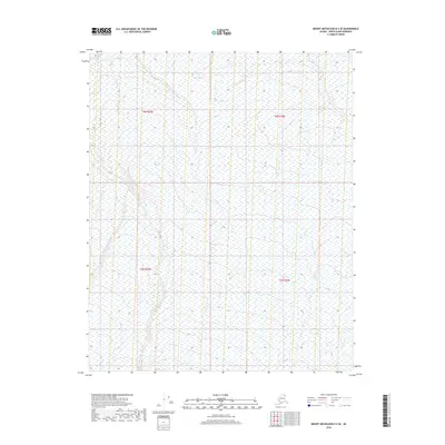
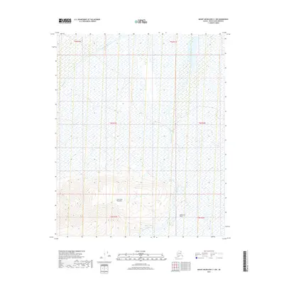
2018 Map of Mount Michelson D-2 SE
USGS Topo · Published 2018About this map
The Marsh Fork Canning River flows prominently through this remote northern landscape, defining the topography of the North Slope. Recorded in 2018, the map illustrates the braided nature of high-latitude waterways where seasonal drainage patterns create a complex system of channels. Small tributaries such as Carter Cr feed into the larger river system, which transitions through various township boundaries including t6n r30e and t5n r29e. The map captures a wilderness area devoid of permanent human structures or roads, showing instead the natural drainage basins and elevation contours that dictate the movement of water across this Arctic terrain.
Find a feature on this map
6 named features on this map. Tap any name to fly to it.
Don’t see what you’re looking for? This feature index may not catch every label — zoom into the map to look around manually.
Map Details
Editions of this 2018 Mount Michelson D-2 SE Map
This is the sole edition of this map. No revisions or reprints were ever made.
Other maps of this area

1951 · Mt. Michelson
USGS Topo · 1:250,000

1955 · Mount Michelson C-1
USGS Topo · 1:63,360

1955 · Mount Michelson C-2
USGS Topo · 1:63,360

1955 · Mount Michelson D-2
USGS Topo · 1:63,360

1955 · Mount Michelson D-1
USGS Topo · 1:63,360

1956 · Mt. Michelson
USGS Topo · 1:250,000
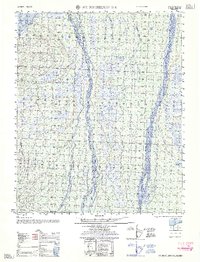
1962 · Mt. Michelson D-1
USGS Topo · 1:50,000
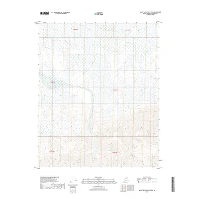
2018 · Mount Michelson C-2 NW
USGS Topo · 1:25,000
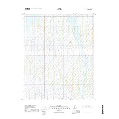
2018 · Mount Michelson D-1 NW
USGS Topo · 1:25,000
2018 · Mount Michelson C-1 NW
USGS Topo · 1:25,000