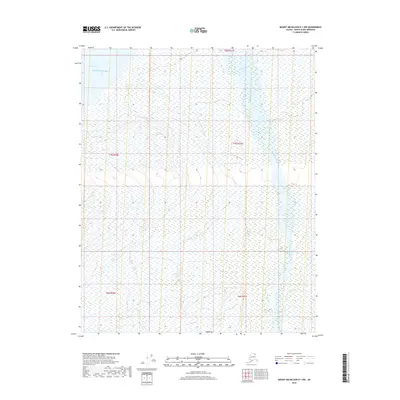
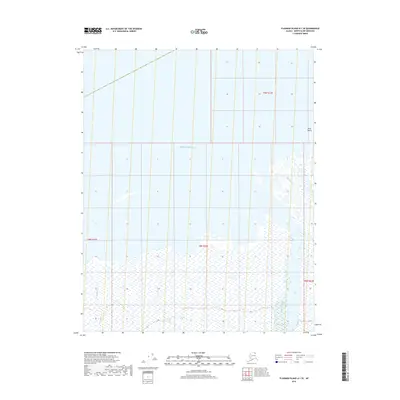
2018 Map of Mount Michelson D-1 NW
USGS Topo · Published 2018About this map
Beaufort Sea waters meet the northern Alaskan coast at Camden Bay in this coastal survey of the North Slope. The landscape is defined by the braided path of the Sadlerochit River, which flows northward through the eastern portion of the quadrangle toward the Arctic coast. This remote terrain is characterized by the hydrological transition from the tundra to the sea, where Itkilyariak Cr feeds into the larger river system. The map provides a detailed view of the natural drainage patterns and shoreline features before they reach the bay, offering essential geographic data on one of the most northern reaches of the United States.
Find a feature on this map
9 named features on this map. Tap any name to fly to it.
Don’t see what you’re looking for? This feature index may not catch every label — zoom into the map to look around manually.
Map Details
Editions of this 2018 Mount Michelson D-1 NW Map
This is the sole edition of this map. No revisions or reprints were ever made.
Other maps of this area

1951 · Mt. Michelson
USGS Topo · 1:250,000

1955 · Flaxman Island
USGS Topo · 1:250,000

1955 · Flaxman Island A-1
USGS Topo · 1:63,360

1955 · Mount Michelson D-2
USGS Topo · 1:63,360

1955 · Mount Michelson D-1
USGS Topo · 1:63,360

1956 · Mt. Michelson
USGS Topo · 1:250,000
1962 · Flaxman Island A-1
USGS Topo · 1:50,000
1962 · Mt. Michelson D-1
USGS Topo · 1:50,000
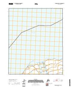
2018 · Flaxman Island A-1 SW
USGS Topo · 1:25,000
2018 · Flaxman Island A-1 SE
USGS Topo · 1:25,000