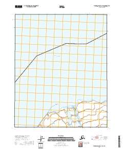
2018 Map of Flaxman Island A-1 SW
USGS Topo · Published 2018About this map
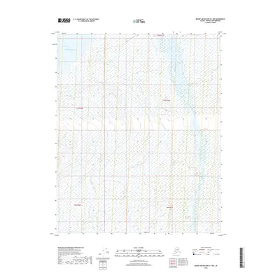
Beaufort Sea waters dominate this Arctic coastal landscape, where the northern edge of the Alaska mainland meets the sea. The shoreline is defined by the protrusion of Anderson Point, which separates the open sea from the more sheltered waters of Camden Bay. Inland, the braided channels of the Sadlerochit River move through a low-lying expanse of wetlands and small coastal pools. This 2018 survey illustrates the remote character of the North Slope, showing a region where natural hydrography and public land survey divisions like t8n r30e and t8n r31e are the primary markers on the land. The mapping of these river deltas and coastal points provides a high-resolution view of the shifting boundary between the Arctic tundra and the ocean.
Find a feature on this map
6 named features on this map. Tap any name to fly to it.
Don’t see what you’re looking for? This feature index may not catch every label — zoom into the map to look around manually.
Map Details
Editions of this 2018 Flaxman Island A-1 SW Map
This is the sole edition of this map. No revisions or reprints were ever made.
Other maps of this area

1951 · Mt. Michelson
USGS Topo · 1:250,000

1955 · Flaxman Island
USGS Topo · 1:250,000

1955 · Flaxman Island A-1
USGS Topo · 1:63,360

1955 · Mount Michelson D-2
USGS Topo · 1:63,360

1955 · Mount Michelson D-1
USGS Topo · 1:63,360

1956 · Mt. Michelson
USGS Topo · 1:250,000
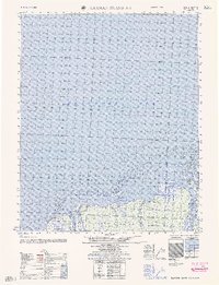
1962 · Flaxman Island A-1
USGS Topo · 1:50,000
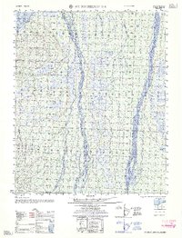
1962 · Mt. Michelson D-1
USGS Topo · 1:50,000
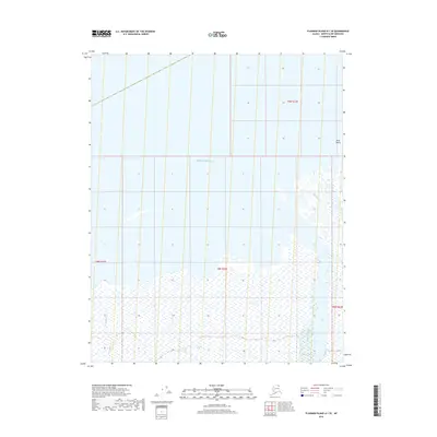
2018 · Flaxman Island A-1 SE
USGS Topo · 1:25,000
2018 · Mount Michelson D-1 NW
USGS Topo · 1:25,000